|
DISTANCE - 16 KM
ELEVATION GAIN - 1600 M
ELEVATION LOSS - 1450 M
|
MAX. ALTITUDE - 2280 M
MIN. ALTITUDE - 1020 M
DURATION - 9 H 20 MIN
|
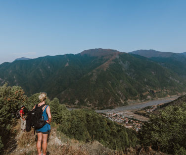
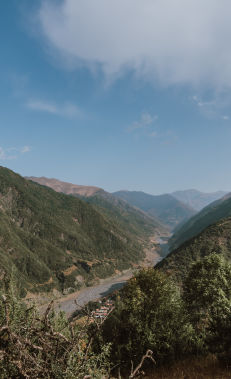
Continue through the village following the signs from the starting point. After 400 m you cross a streambed,and the trail begins on the opposite side. After 1.3 km, the trail enters a forest and after 3.5 km it climbs to pastures at the top of the forest line where you will find the first shepherd hut.
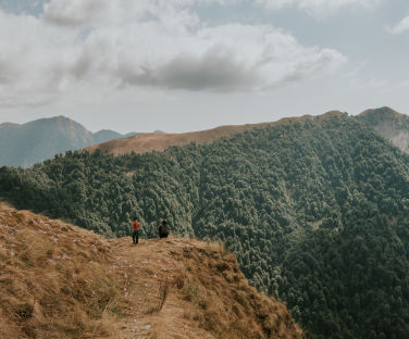
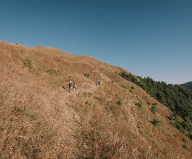
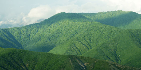
After going 4.5 km along the left slope, mainly along a slightly ascending path going straight across the slope into the mountains, you reach the next shepherd hut, and a little further to the left you descend into the forest. After a while, the path emerges into an open area and passes 1.5 km ahead of the next shepherd hut, continues along a steep uphill slope, and 800 m ahead reaches a pass, the highest point of the route (the Yarpizbasan plateau) where you’ll find a small shepherd hut.
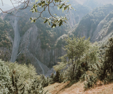
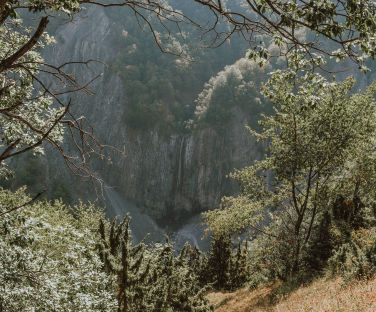
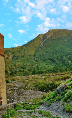
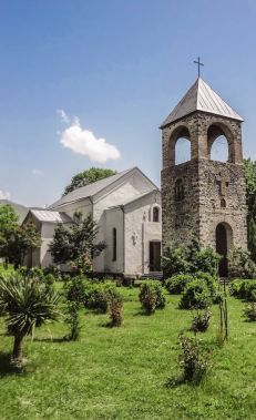
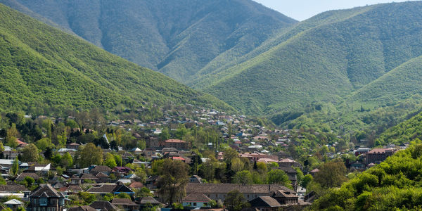
From here, the steep, winding path leading to the gorge on the opposite side turns for 1 km to the left of the gorge and continues down a slight slope. For 2 km the trail continues along a steep, winding descent through sparse forests and reaches the Shamil Fortress (19th century) 1 km ahead. A wide path going to the right of the tower leads to the central street of Ilisu village 600 m ahead.
It is physically more convenient to start this route from Ilisu village.
Nearby trails
Before starting from Gashgachay, you can consider to add the Gumukh-Gashqachay and Kish-Bash Goynuk routes to your hike. Beyond Ilisu, the mountainous areas descend mainly into the territory of the Ilisu State Nature Reserve and the border control zone. If you have a local guide or a detailed map and sufficient experience, you can plan a two-day trek from Ilisu to Gum or Lakit Kotuklu village. It is recommended to undertake this direction only in summer, with proper camping equipment.
Seasonality
May-September is the best time in terms of weather and daylight. It should be taken into account that during this period there will be 4-5 shepherd huts along this route. In May and September, you can check with the local community to confirm if the shepherds are in the mountains. These huts can provide warm shelter, and the shepherds may offer useful information, but be cautious around their dogs.
In general, although it is possible to complete this route throughout the year, it requires extra preparation in winter months. During winter, spring and autumn, it is important to check the weather forecast thoroughly and prepare food, clothing, accessories (tents, sleeping bags, etc.). On cold and short winter days, it is very difficult and risky to finish this route in single day, so it is not recommended to leave without proper camping equipment.
Food and accommodation
In the village of Ilisu, as well as along the road from Gakh to Ilisu, there are small shops, cafes and restaurants. For overnight stays, you can find guest houses, hotels and other accommodation facilities, including restaurants and cafes, on the map.
Water supply
There are few numbers of springs along this route. There are only two springs close to the trail, both providing limited water. On the way take at least 1.5 litres of water per person, use it sparingly and refill whenever possible. You can ask for water from shepherd huts or inquire about nearby springs.
Transportation
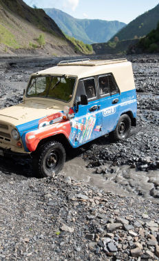
You can travel from Shaki to the village of Gashgachay by taxi for about 12-15 AZN (using the *0066 and *5577 taxi services). Taxis go from Gakh for about 6-8 AZN (using the ALO taxi service: +99470 298 9966). Buses (0.70 AZN per trip) go from the main bus station in Gakh to Gashgachay three times daily (07:30; 13:00; 18:00).
Permits and specially protected areas
No prior permission is required to walk along this route. The route does not pass through any specially protected natural areas, or the border protection zones, and there are no permanent border guard posts along the route. When encountering border guards, it is necessary to present your documents and explain your planned route.


