|
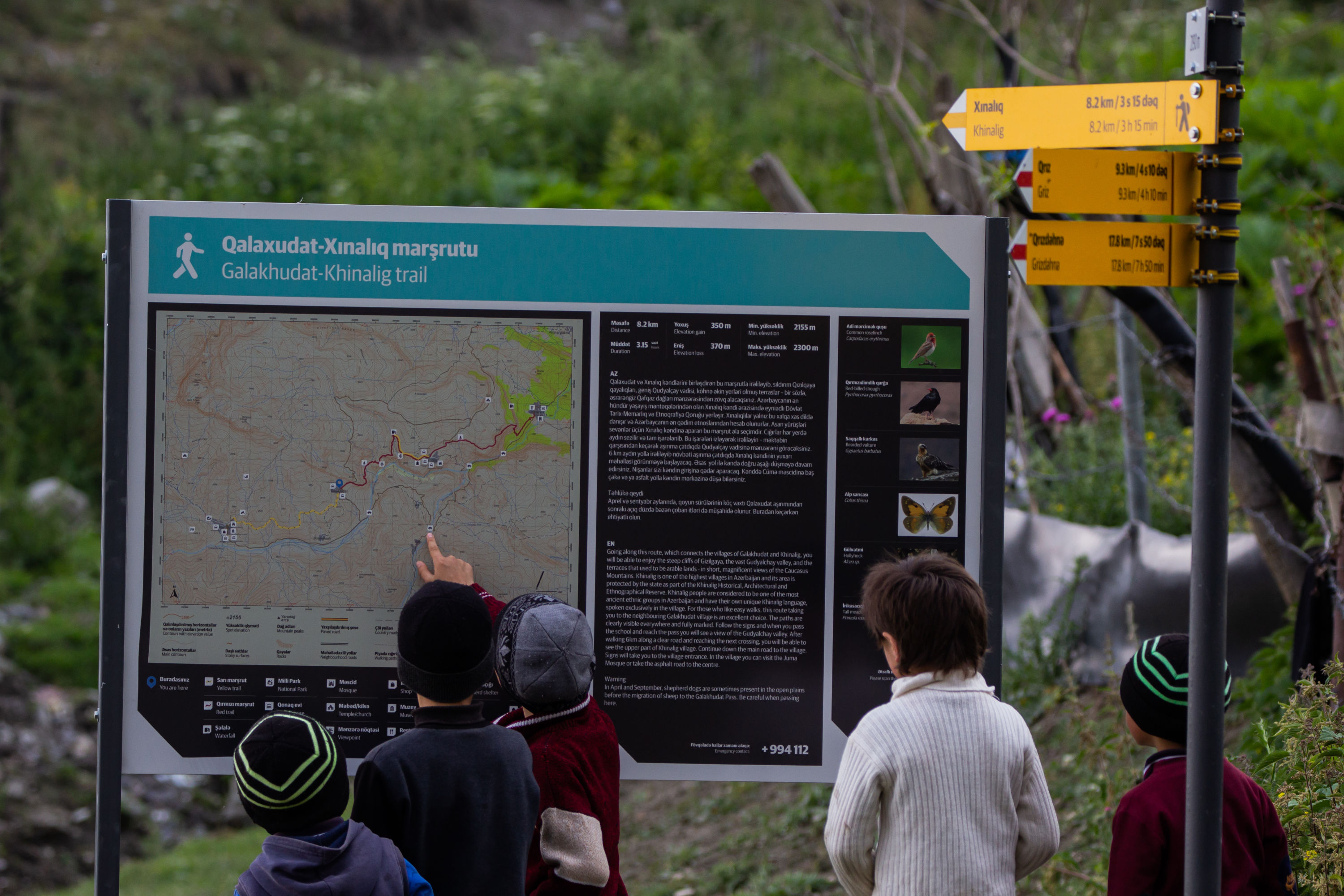
DISTANCE - 8.2 KM
ELEVATION GAIN - 250 M
ELEVATION LOSS - 270 M
|
MAX. ALTITUDE - 2300 M
MIN. ALTITUDE - 2155 M
DURATION - 3 H 15 MIN
|
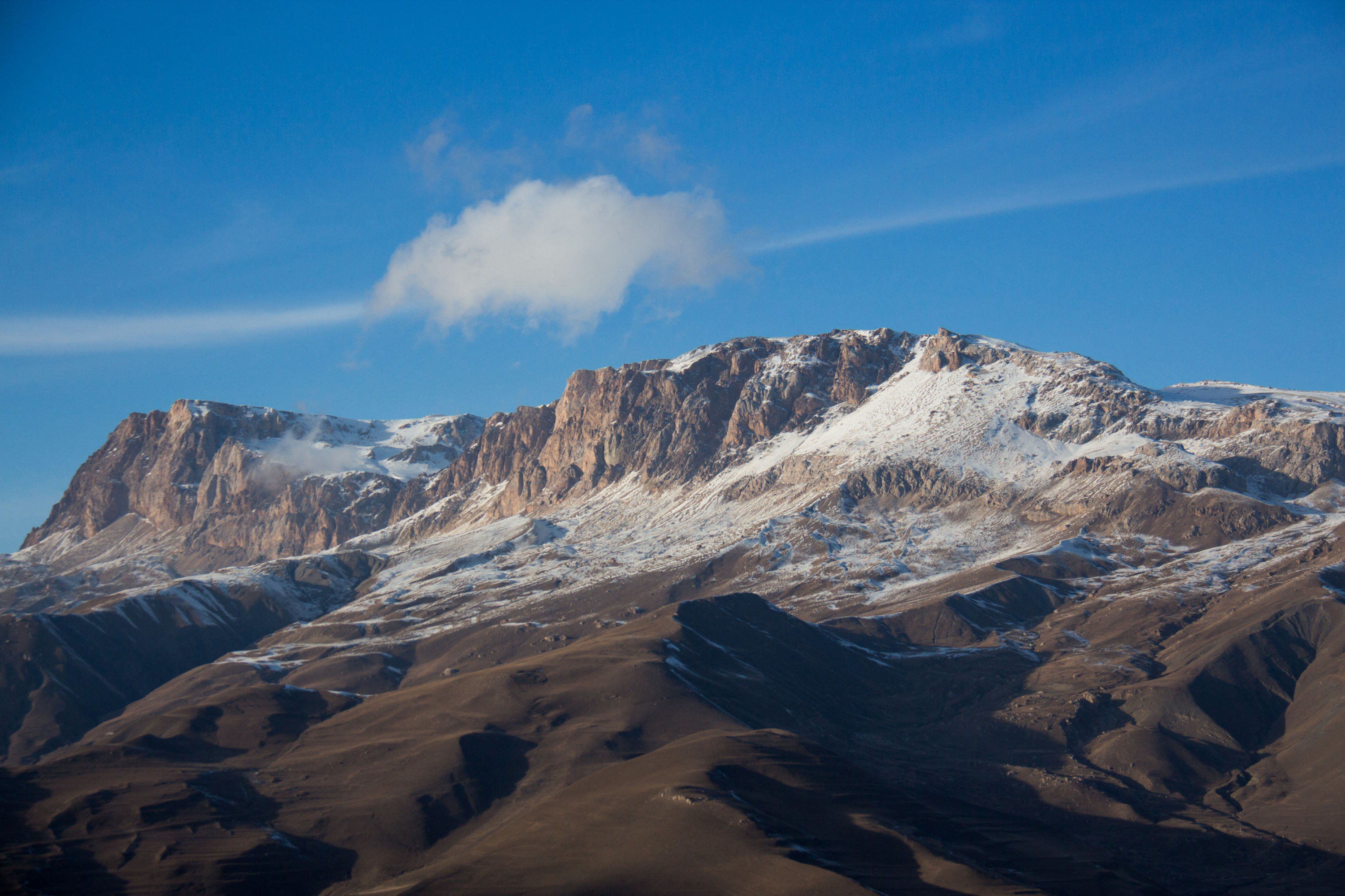
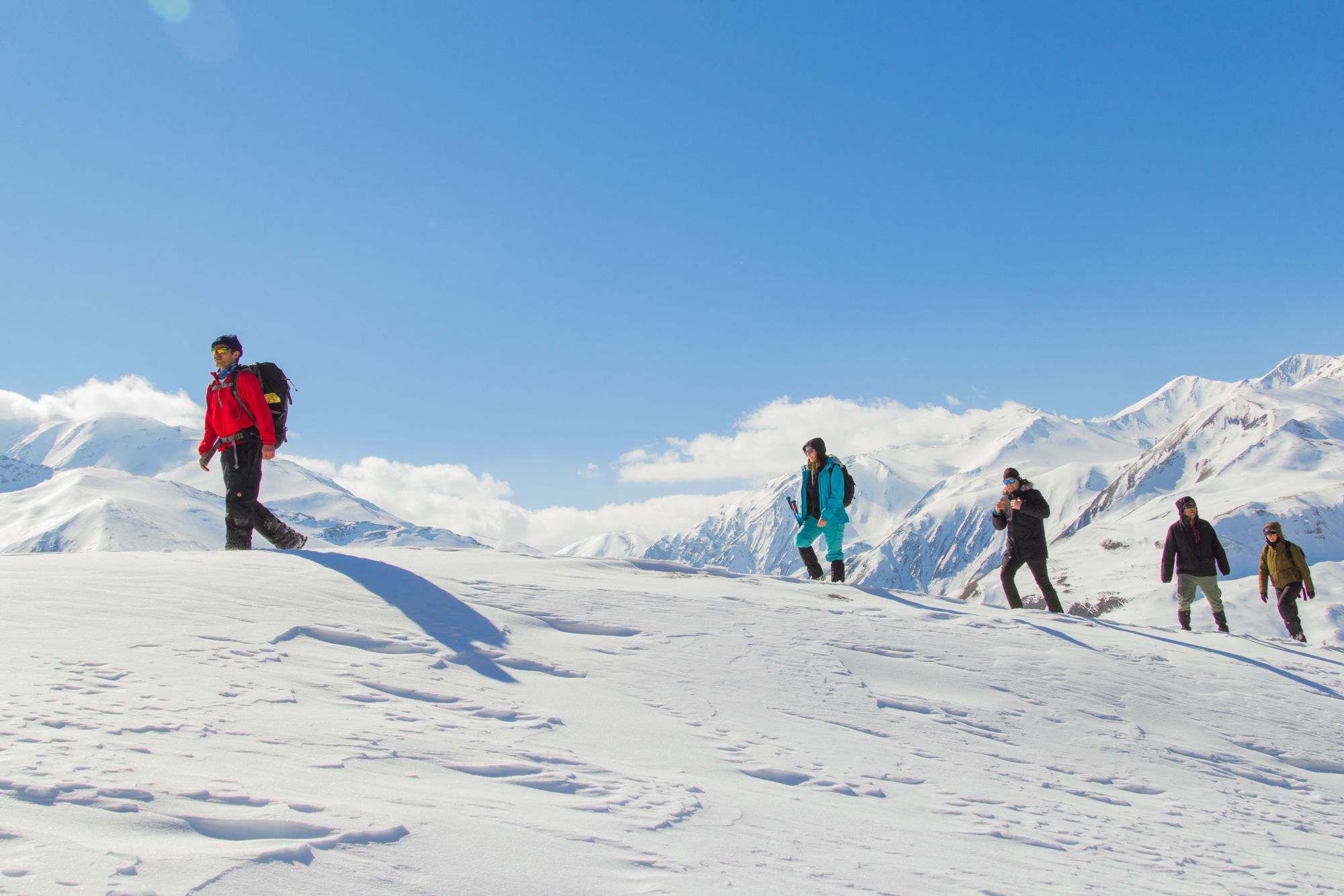
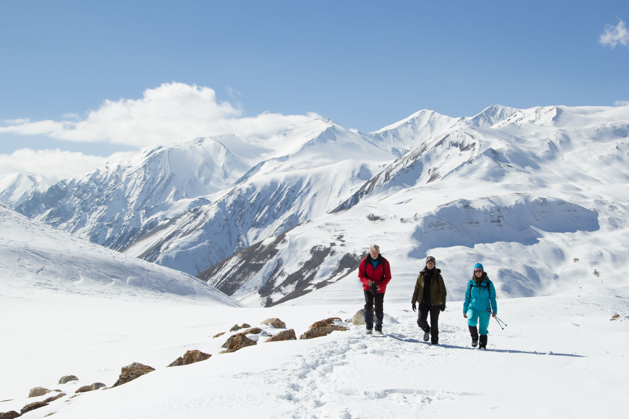
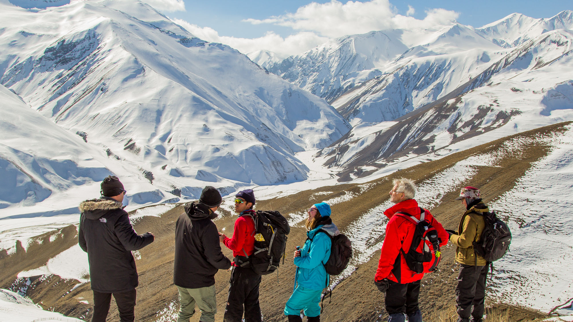
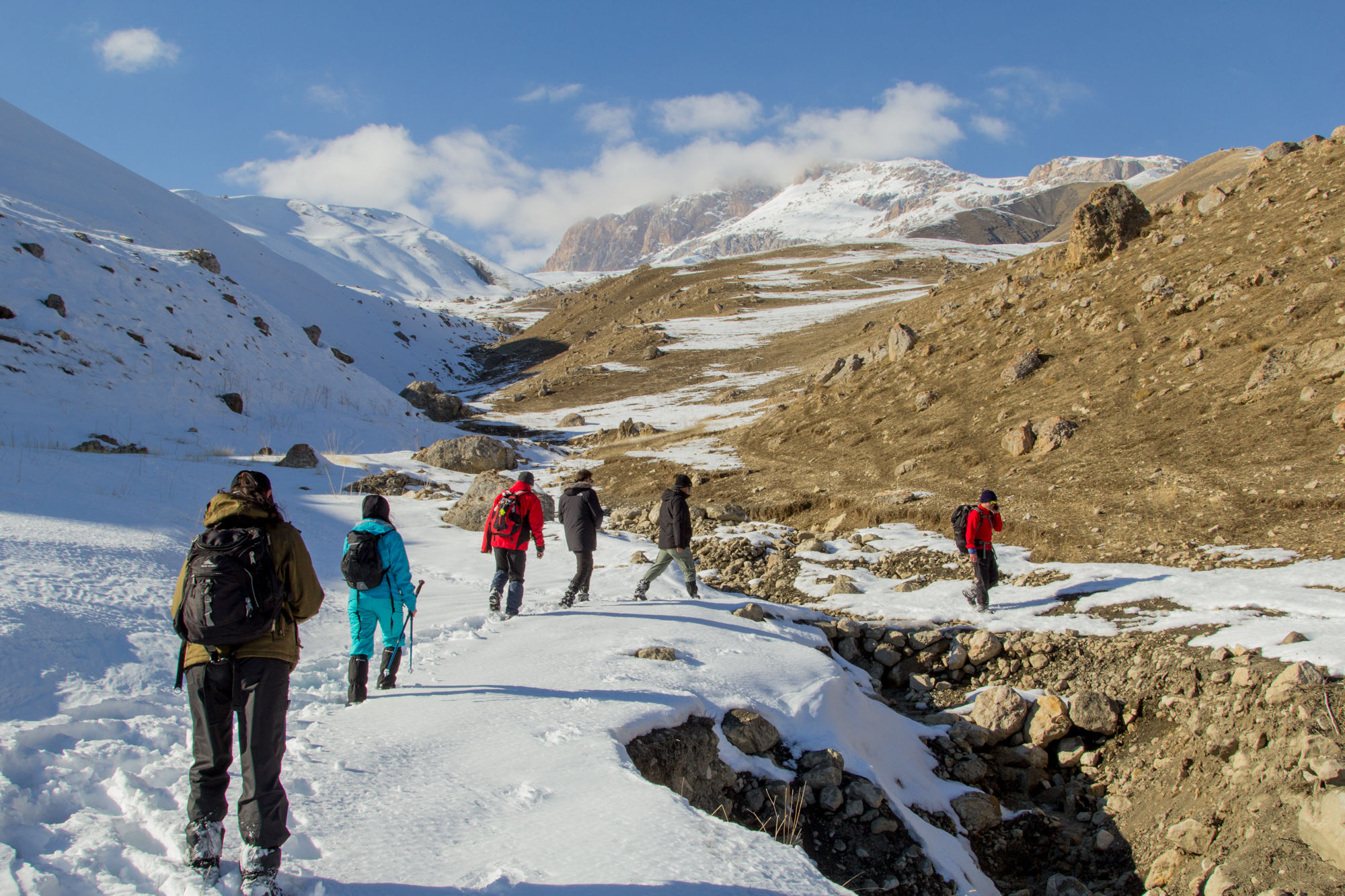
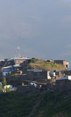
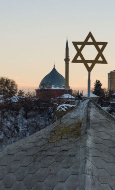
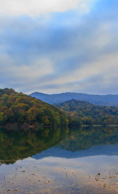
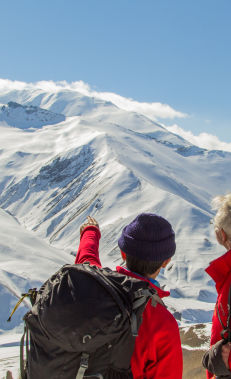
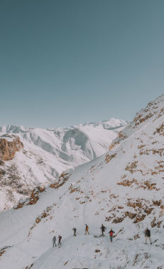
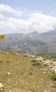
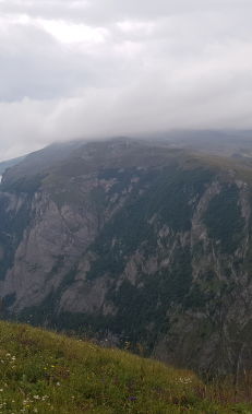
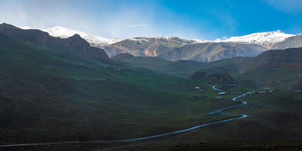
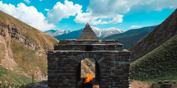
For those who enjoy easy walks, this route is an excellent choice. The paths are clearly visible everywhere, and the entire trail is well-marked. Follow the signs, and you will pass through the village, below the school, and head towards a mountain pass along a slightly ascending trail for about 1 km. At the pass, you will have a stunning view of the high mountains surrounding Khinalig village. After a short descent from the pass, you will see the village of Bostankesh on the left of the road. Direction signs will appear at certain points along the route. You will walk for 6 km along a clear and wide road with very few ups and downs until you reach a point where you can see the village of Khinalig. From here, descend 800 m, cross a small river, and walk up to the village on the left. The marked trail ends near the spring at the entrance of the village. If you have time, you can visit the village mosque or simply follow the slightly broken asphalt road from the spring that descends to the centre of the village.
Nearby trails
You can connect this trail with the Griz-Galakhudat trail.
Seasonality
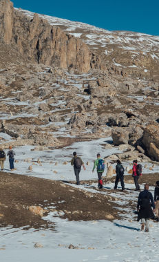
This hike can be done in all seasons. However, it is best to go between May and July if you want to enjoy lush scenery. If you want to see snowy mountains, then visit them between December and February. It is always highly recommended to check the weather forecast before your trip, as this trail becomes more difficult in foggy, rainy or snowy weather. You might encounter shepherd dogs in the flat area before the small pass between May and September. You can call the shepherd from a distance to help you pass safely.
Food and accommodation
There are no restaurants or cafes in either village (only a small tea house in Khinalig). However, in the villages there are guest houses that offer food and accommodation. You can find the location of guest houses, hotels and other accommodation facilities on the map.
Water supply
There are no springs directly on the trail in Galakhudat village, but you can ask the locals for water. It is recommended to take 1.5-2 l of water depending on the temperature. During the walk, you will cross a small river which is drinkable water, except on rainy days when it is cloudy. In summer, it is also not recommended to drink water since it is used by shepherds for their livestock further upriver.
Transportation
You can get to Galakhudat in an off-road vehicle. From the centre of Guba, local taxis (Niva and UAZ jeeps) can take you there for 50 AZN. If you intend to return to Guba from Khinalig, you can ask the driver to pick you up from there and take you back for about an extra 10 AZN.
Permissions and Special Protection Areas
No prior permission is required to hike along this trail. The trail does not pass through a special protected natural area or border protection zone.