|
DISTANCE - 10,2 KM
ELEVATION GAIN - 1090 M
ELEVATION LOSS - 523 M
|
MAX. ALTITUDE - 1450 M
MIN. ALTITUDE - 1034 M
DURATION - 4 H 50 MIN
|
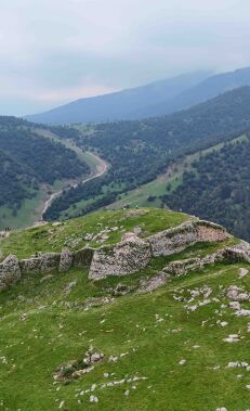
The trails leading to Soyugbulag are mostly clearly visible and the entire route has been marked. Continue by following the directional signs. You will reach a crossroads after 5km. If you go right for 1km from here you will reach the Maiden Tower or, alternatively, continue left towards Soyugbulag village.
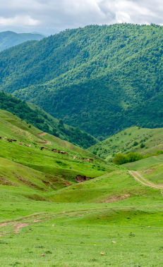
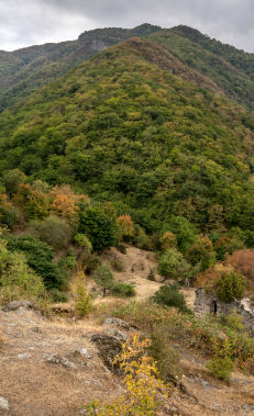
Following the crossroads, you walk along a narrow forest path. After crossing a small river after 3.2km the forest changes to a bare mountainous area. After 1.5km from here you will reach a dirt road which will take you to Soyugbulag village after another 2.7km.
It is also possible to hike this route the opposite way.
Nearby trails
You can connect this trail with the Mahrasa – Amirvar trail.
Seasonality
This hike is possible in all seasons.
Food and accommodation
There is only a small shop in Soyugbulag with limited products.
Stay: Heyrat's Guest House (+99451 526 1188)
Water
Springs can be found in two villages besides Soyugbulag village, but there are no springs around Mahrasa Temple.
Transportation
You can get to Mahrasa Temple from Gadabay city centre by taxi. However, please note that the road to Mahrasa is only suitable for off-road vehicles. Please also note that it is necessary to cross the Shamkir river several times along the way and that when the water level is high cars may not be able to.
Permits & Specially Protected Areas
No special permits are required to hike this trail.
Warning
There are several shepherd camps along the route in the 1.5km section after you exit the forest and enter the bare mountainous area. You need to be careful of the shepherd dogs in this area. At the same time, you can approach shepherds should you need any assistance.
The path to the Maiden Tower is quite steep and might be slippery, so be careful when ascending and descending.


