Javadkhan – Azgilli trail
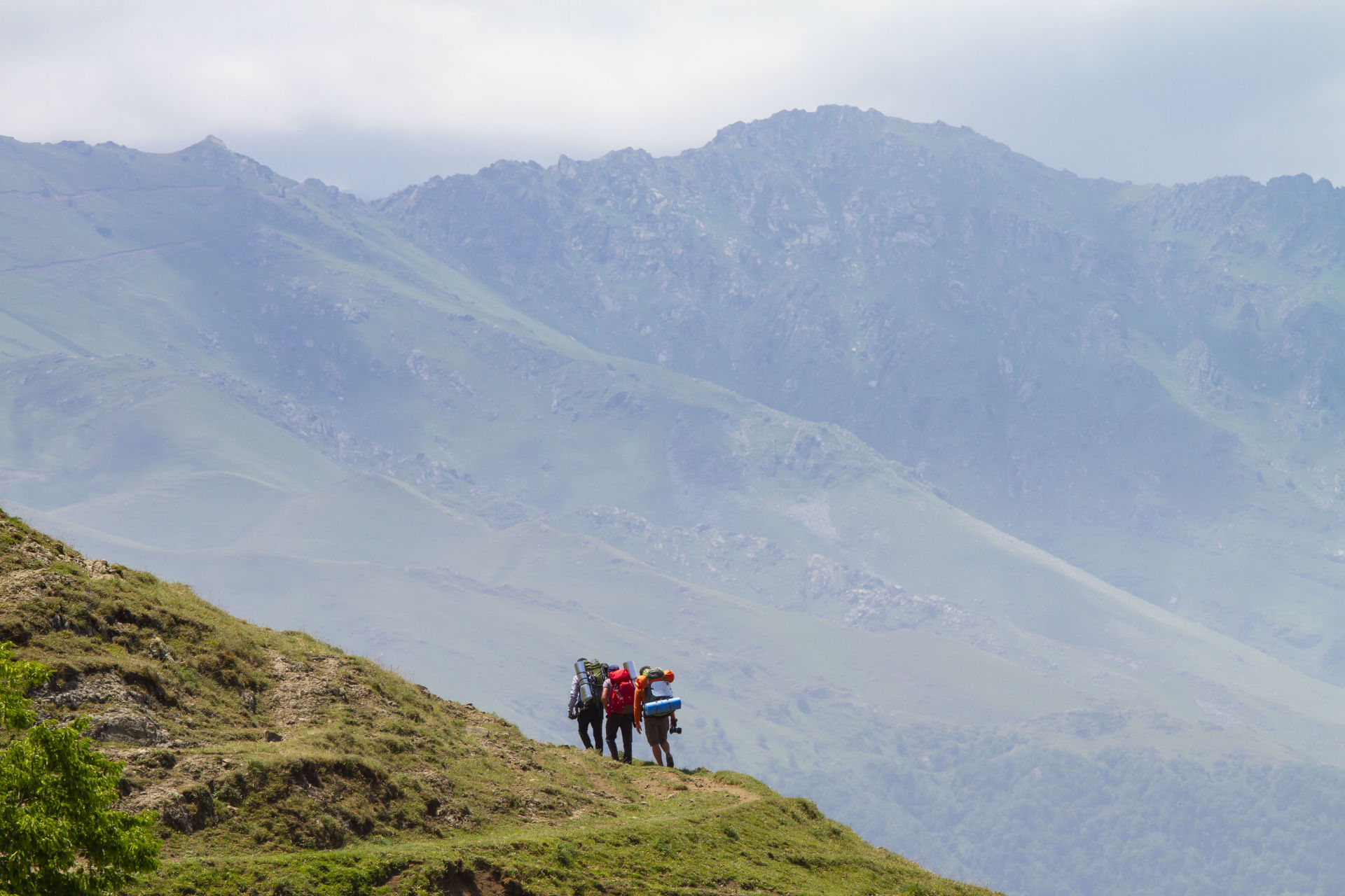
Difficulty - Red 
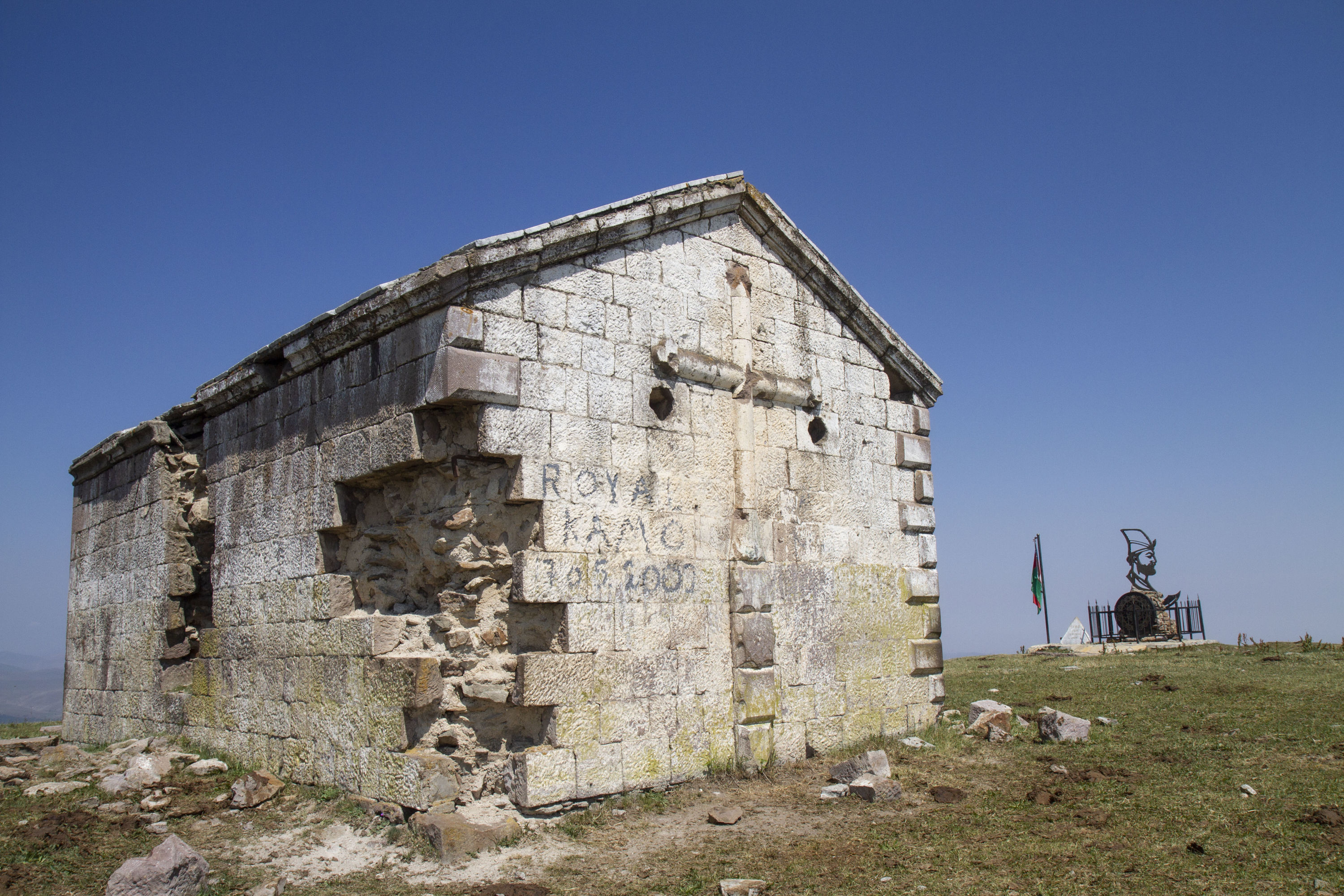
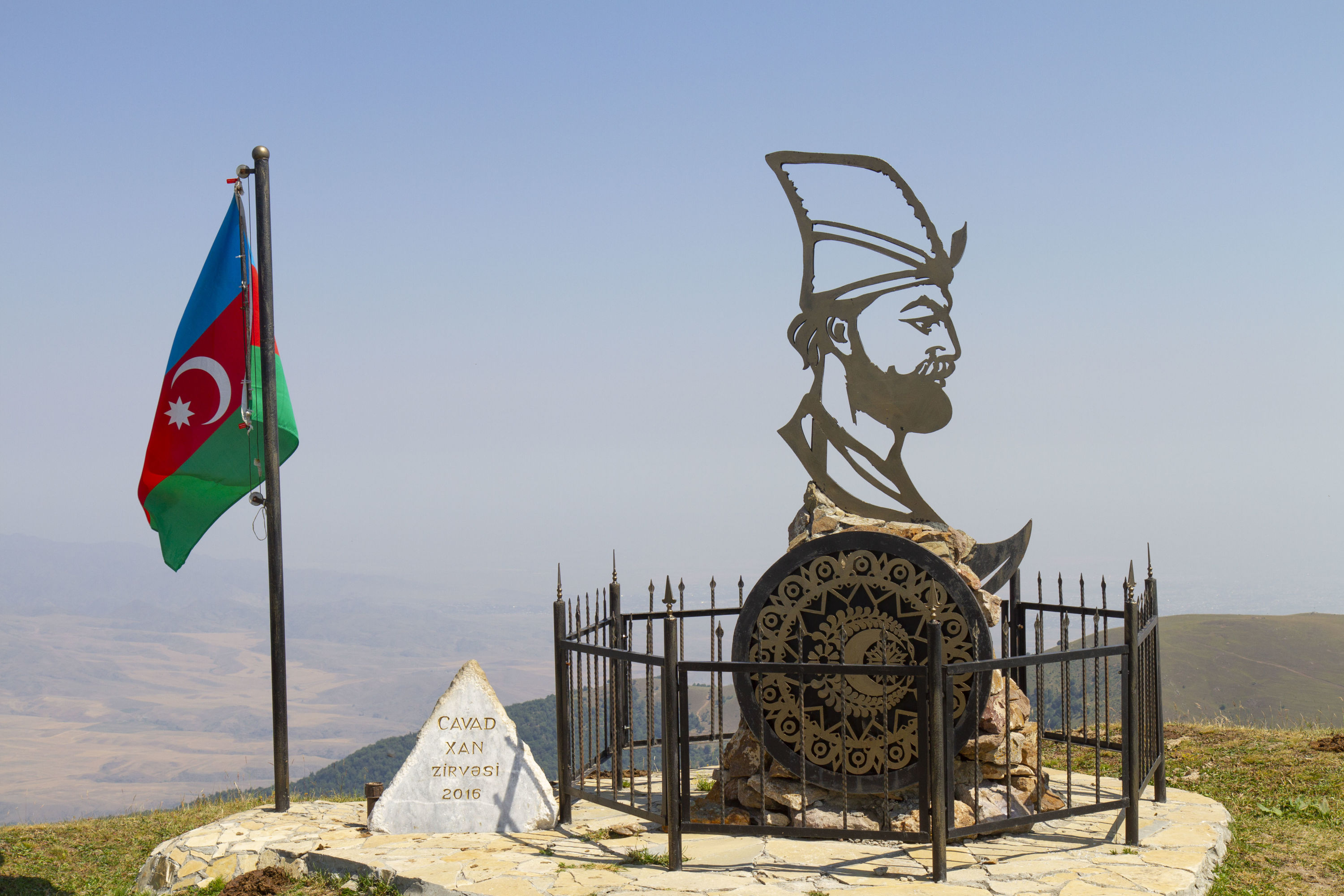
The route begins 700m below the Javadkhan peak (2107m). There is a monument to Javad Khan (the last khan of Ganja) at the peak. The monument, unveiled in 2016, features a profile of Javad Khan with the coat of arms of Ganja, his sword and a spear-shaped iron fence symbolising his army.
-
DISTANCE - 13 KM

-
ELEVATION GAIN - 384M

-
ELEVATION LOSS - 940 M

-
MAX. ALTITUDE - 2107 M

-
MIN. ALTITUDE - 1554 M

-
DURATION - 6 H 5 M

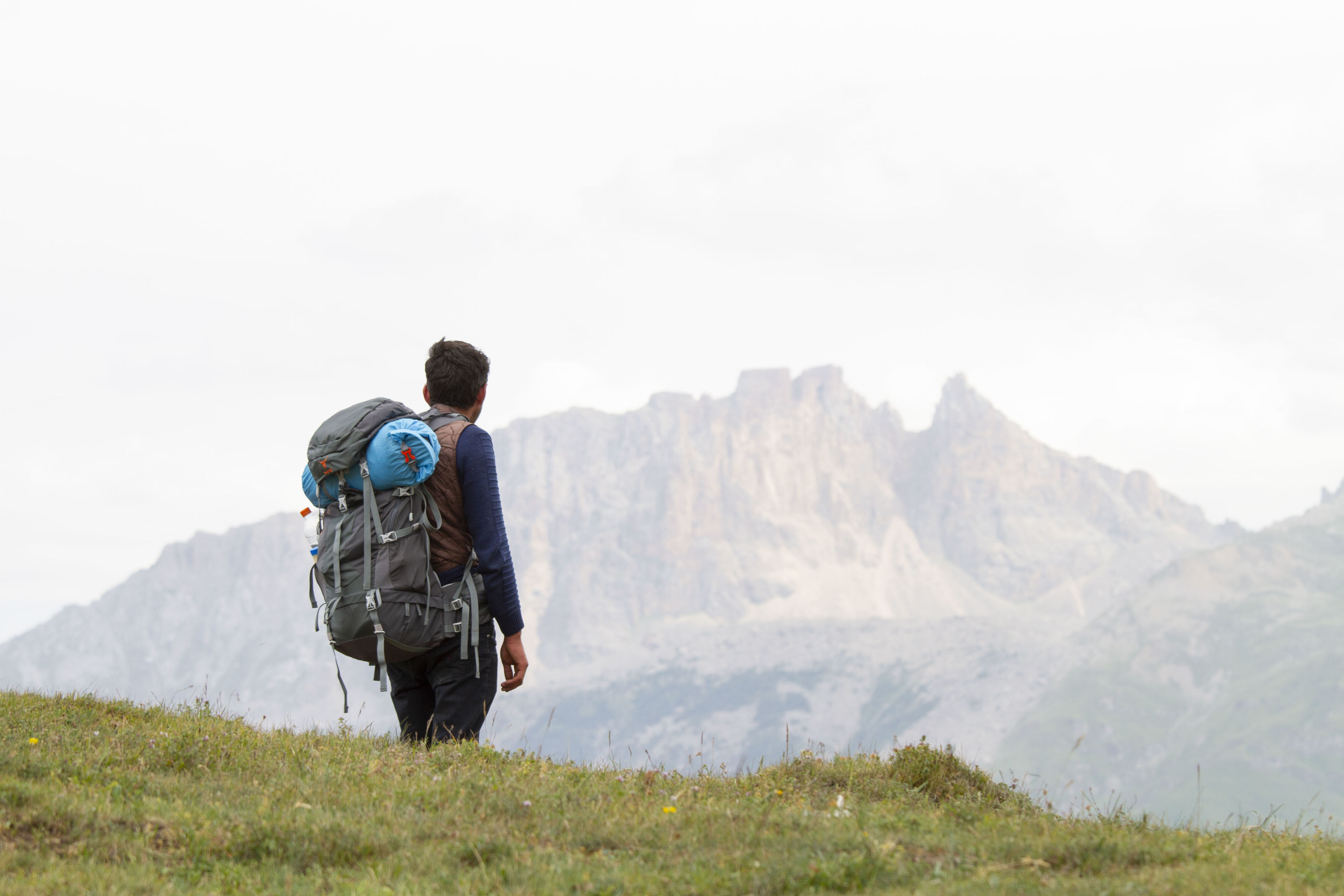
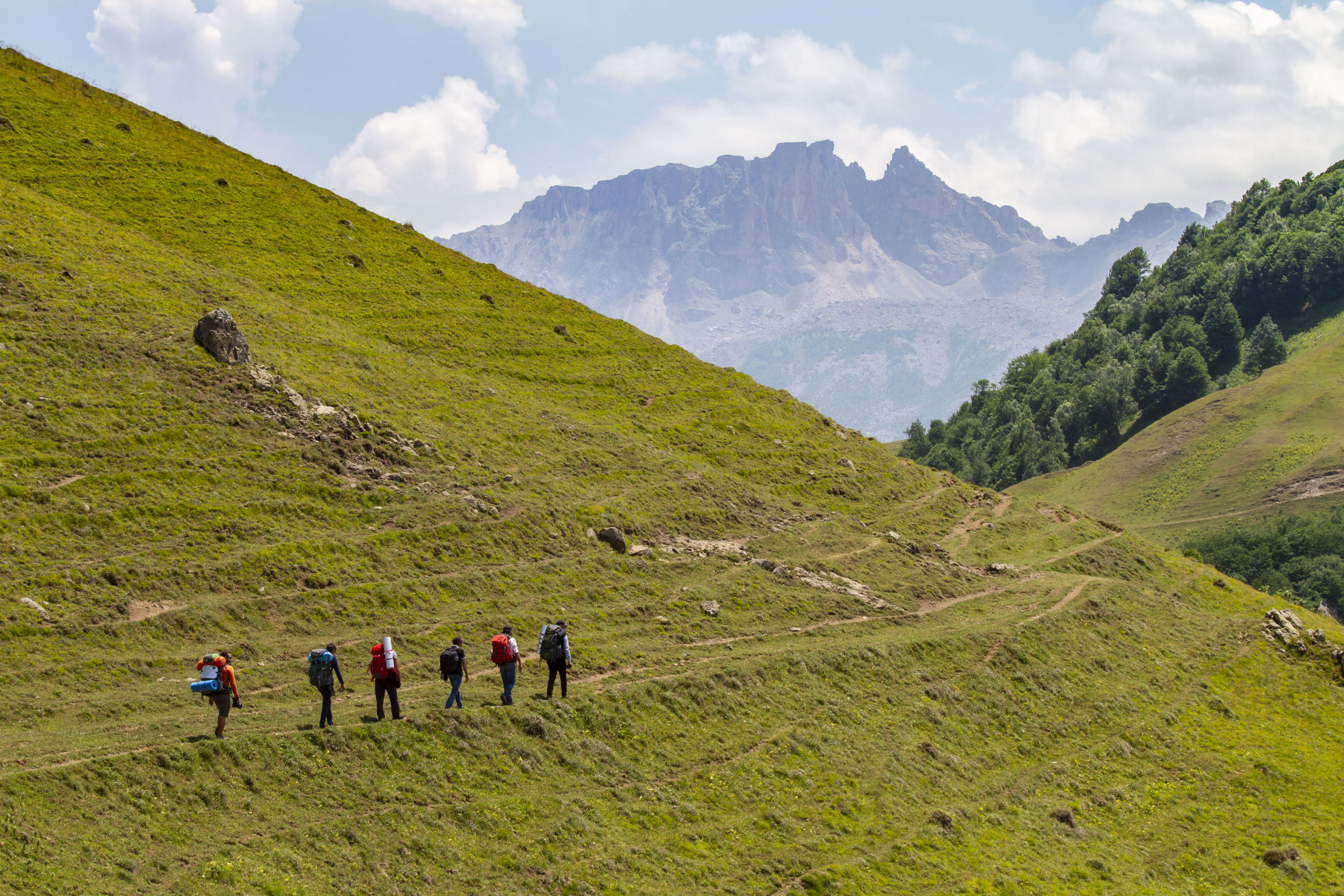
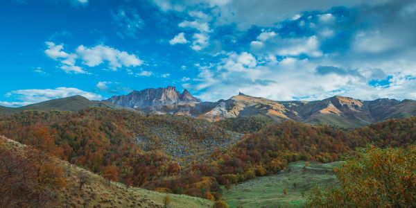
You can witness one of the most beautiful views of Mount Kapaz on this trail. Overall, the route is primarily downhill or relatively flat with only some short ascents in some parts. The paths are clearly visible everywhere and are fully marked. Follow the signs from the information board. A little ahead the road splits in two and you need to take the left road. Then after a while the road for cars comes to an end and splits in two again. This time you need to take the one on the right. After 1.6km from here, go right around the hill in front of you and then head to the left. After 1.2km you need to cross over the hill, at the top of which there is an amazing view of the surroundings. However, it is also possible to go around the hill to the right. After 1.7km you will end up on a road for cars. Turn left here. The road continues to Azgilli village. The initial 4.1km and the final 4.15km of the route is a dirt road, while the remainder is mountain paths.
It is also possible to do this hike the opposite way.
Nearby trails
You can connect this hike with the Javadkhan – Chiragli and Chiragli – Dastafur trails.
Seasonality
You can walk this route in all seasons.
Food and accommodation
There are no shops in Azgilli village or along the way. So please take care to buy supplies before the trip.
Water
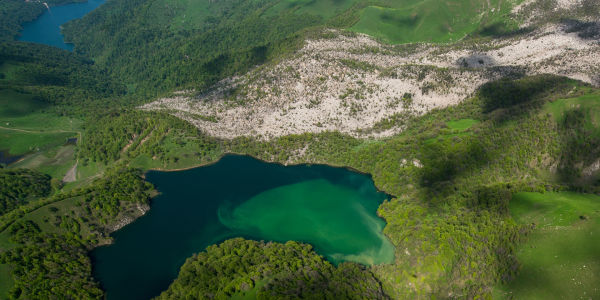
There is a spring 1km to the left of the information board. There are 2 more springs along the route, as well as some in Azgilli village.
Transportation
You can take either a bus or taxi to Togana village from the Goygol region bus station. Turn right at the crossroads by the restaurant “5 Ulduz” when you are heading towards Togana village after Hajikend village. After driving for 10km along a dirt road, you will reach the information board. The dirt road is only suitable for off-road vehicles. Therefore, it is advisable to take an off-road taxi from the Goygol bus station unless you intend to walk the 10km part. It might be difficult to find one at the crossroads.
Permits & Specially Protected Areas
There are military bases in the lower and upper parts of Azgilli village. It is forbidden to take pictures of the buildings and enter their territories.
Warning
There are several shepherd camps along the route between May and October. So be careful of the shepherd dogs when passing by the camps. At the same time, shepherds can be helpful should you get lost or need shelter in unpleasant weather conditions.
Red
Trails of this colour require some previous experience in hiking or trekking since these trails are more physically demanding.
Clothing and equipment:It is necessary to have proper hiking boots, as well as waterproof breathable outdoor clothing. Particularly in winter and rainy seasons it is essential to have this type of clothing to hike along these trails. Specifications of red trails:
- Total distance: 5-20 km
- Total elevation gain: 400-1400 m
- Total elevation loss: 400-1800m