Bash Goynuk - Kish trail
Difficulty - Red - blue 
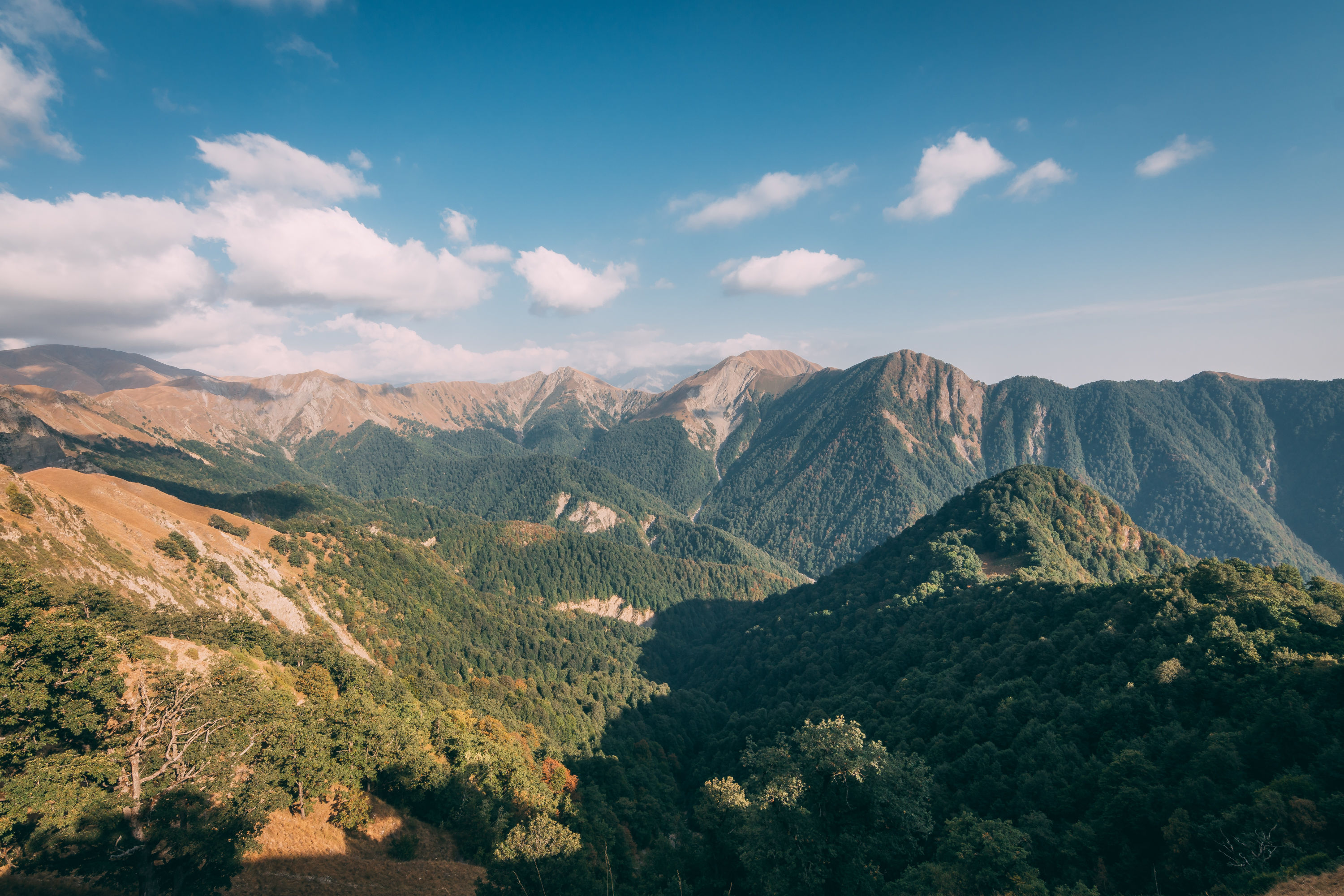
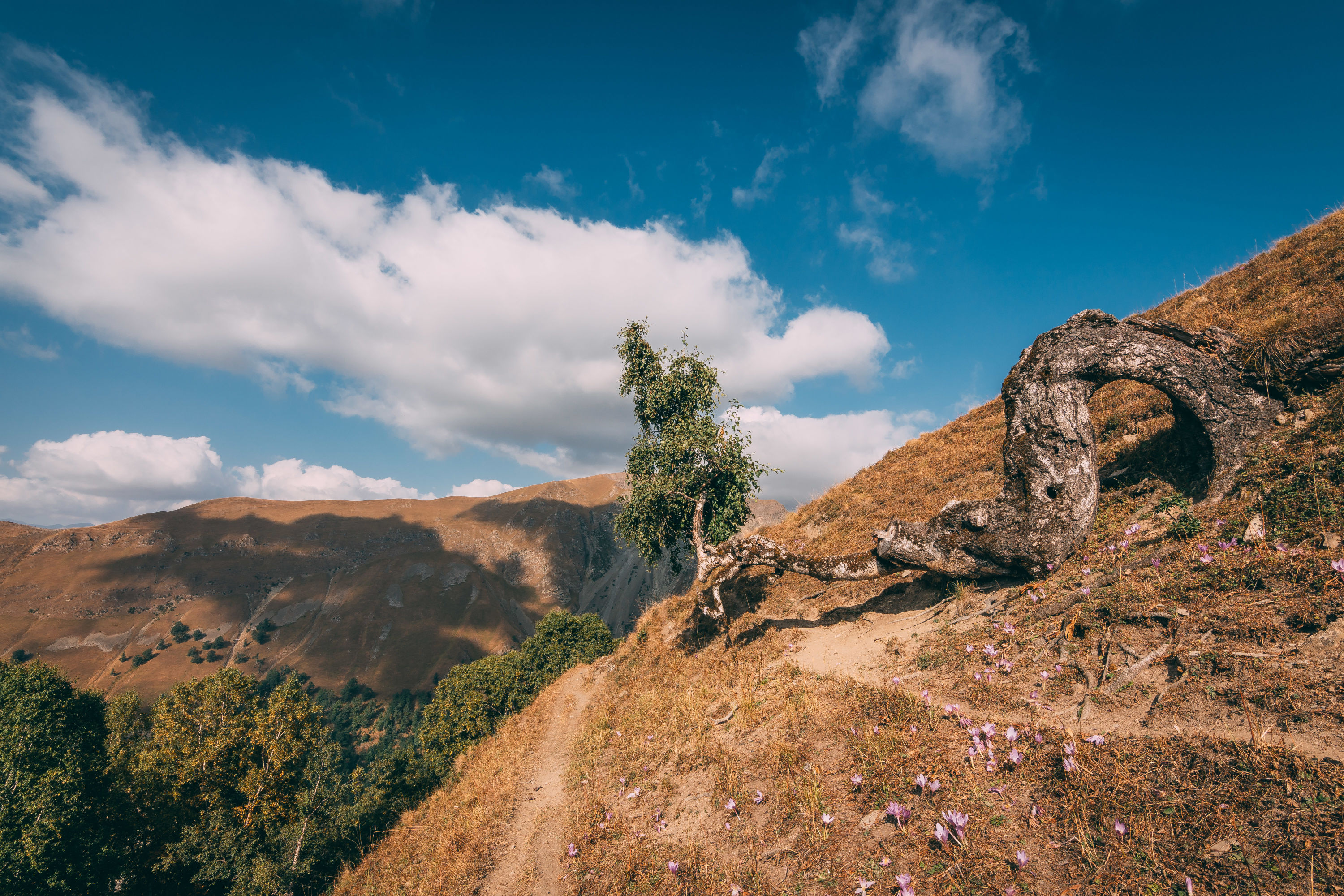
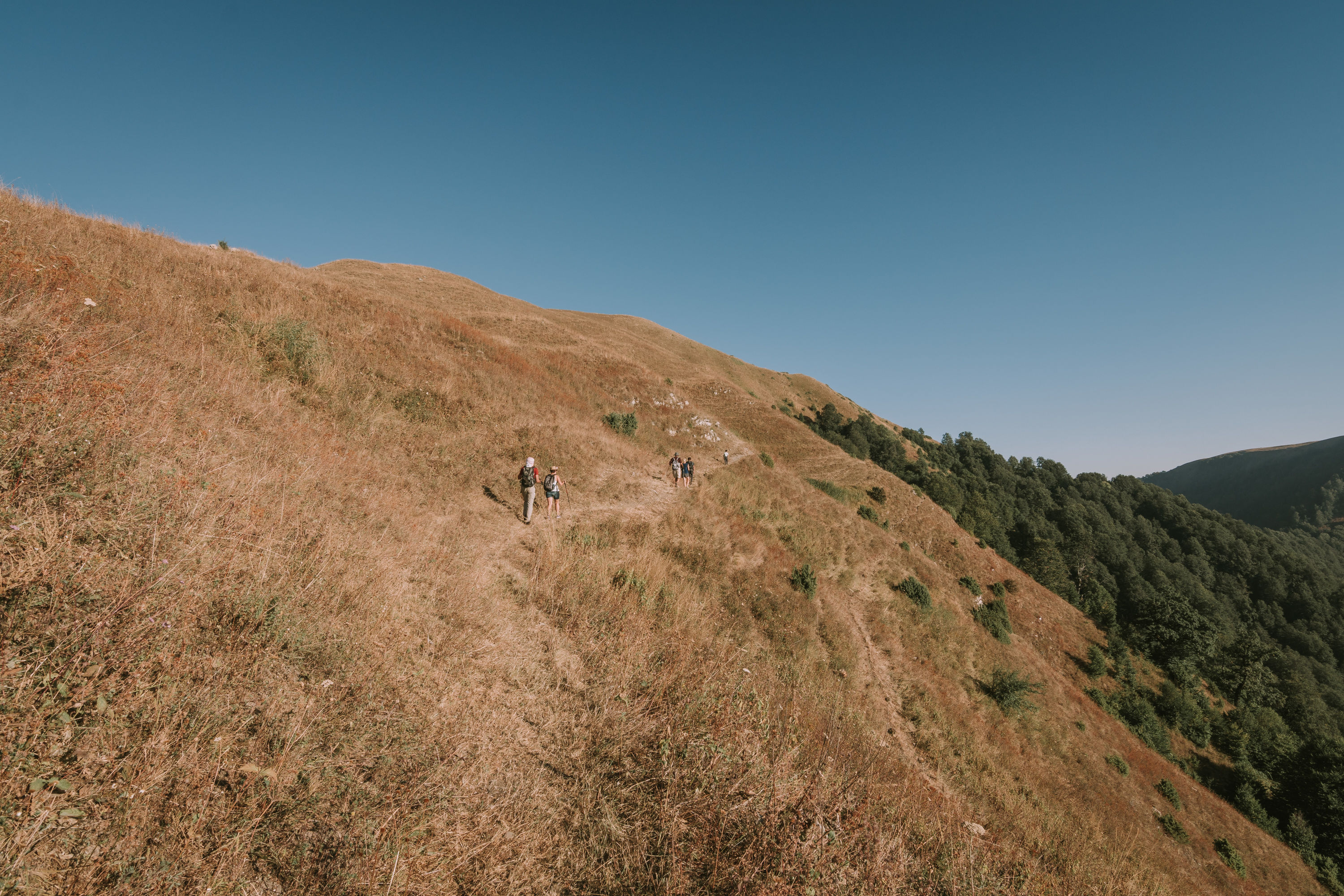
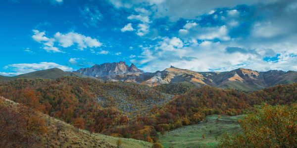
Along this route you will enjoy charming views of forests and meadows, surrounding mountains and wide forest valleys. According to research, the village of Goynuk in Shaki was built in the late 16th century and inhabited by Turks displaced from Ottoman territory. In the early 19th century, the village was divided into Bash and Ashagi Goynuk, as part of the population migrated to the plains. This hike to the village of Kish, where a famous ancient Albanian temple is located, is considered physically demanding due to its long steep slopes and ascents.
-
DISTANCE - 14.6 KM

-
ELEVATION GAIN - 1200 M

-
ELEVATION LOSS - 1100 M

-
MAX. ALTITUDE - 2050 M

-
MIN. ALTITUDE - 950 M

-
DURATION - 7 H 50 MIN

Continue by following the signs from the starting point. After crossing the river a little further, the route continues on a slightly ascending path through a forest on a flat area in the river valley. After 6km, the path to a shepherd hut begins to wind up the mountain steeply to the right.
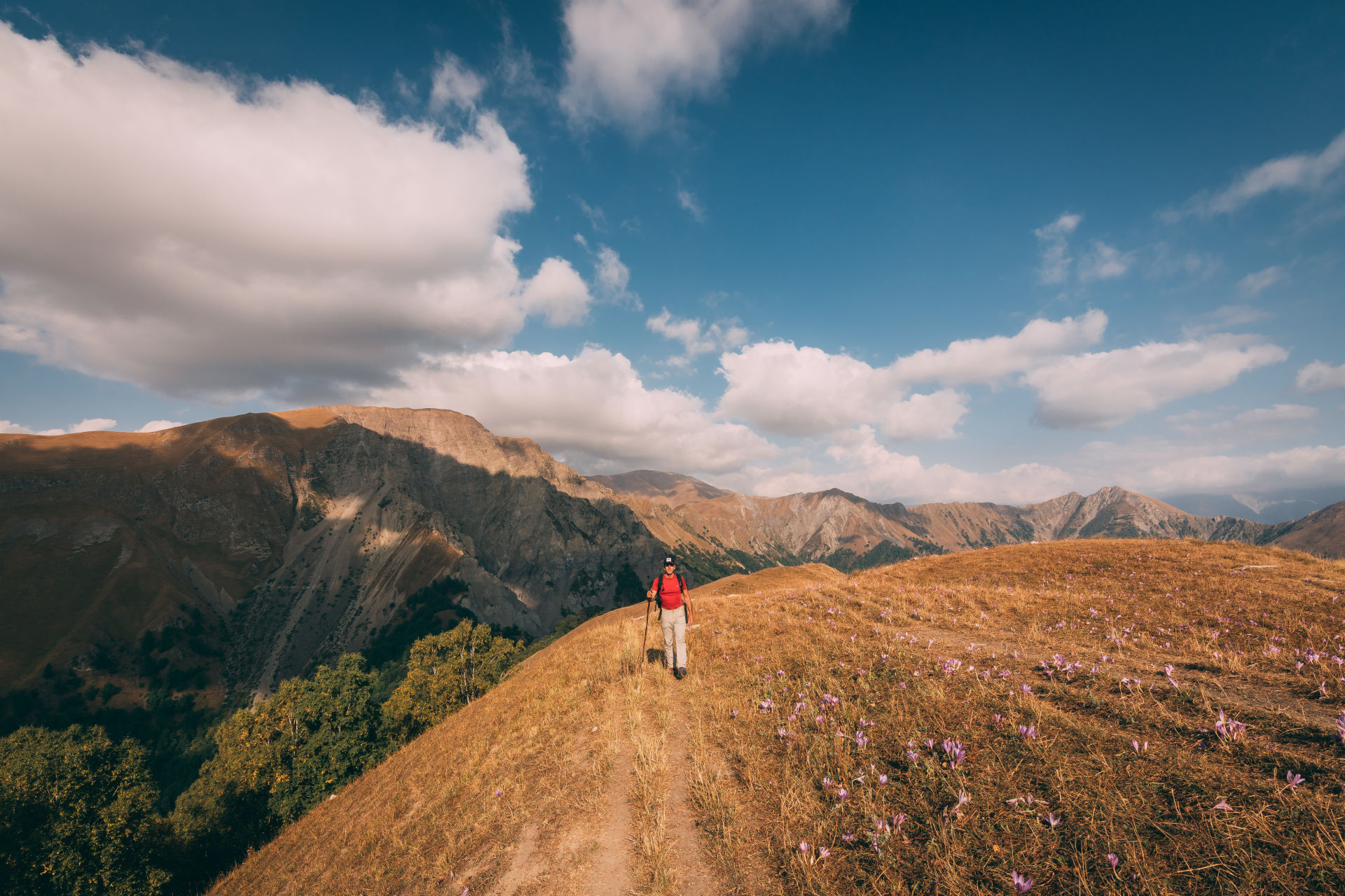
700m ahead above the forest line, the path leading to the pastures turns up to the left and continues across the right of the ridge. After a while, the path that passes briefly through the forest after 1.7km separates off to the left of the main path and continues to the ridge, and a little further to an open area. After 500m the winding trail, which ascends steeply, reaches the highest part of the route, a pasture called Uzunyaylag, at an altitude of 2,040m.
Continuing from the top of the hill to the left along the ridge of the mountain, a poorly visible path begins to descend steeply 600m ahead. The winding path descends for 2km through an open area and reaches a forest, and after another 2km through the forest it comes to the entrance to the village. After continuing for 400m through the houses, you will reach one of the main roads in the village.
Nearby trails
This route can be connected with the Gashgachay-Gumukh route.
Seasonality
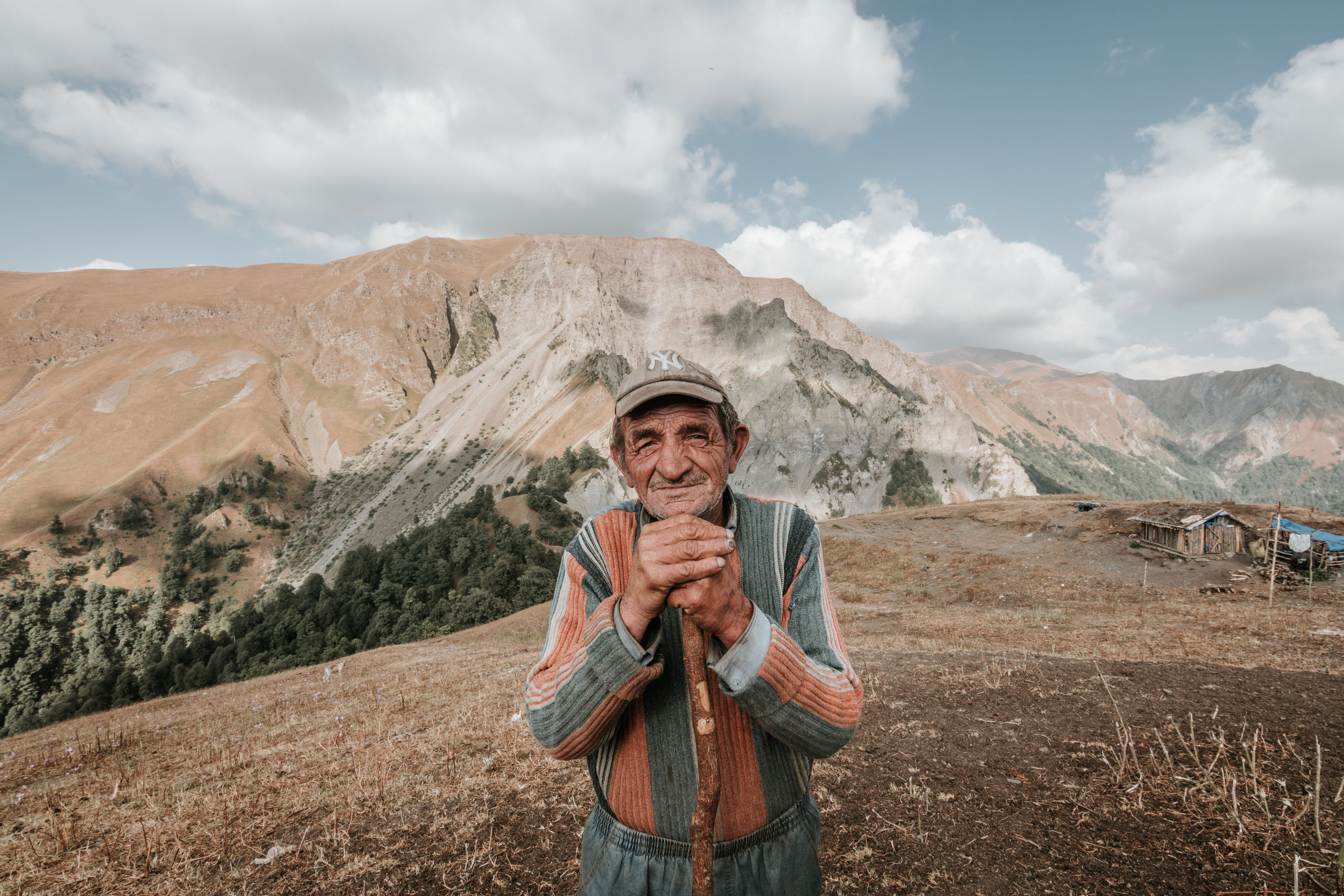
May-September is the best time in terms of weather conditions and length of the day. There is only one shepherd hut along the route. In May and September, you can check with the local community to see if the shepherds are in the mountains. These huts can be a warm shelter and you can ask for information from the shepherds, but you need to be careful around shepherd dogs.
In general, although it is possible to do this route throughout the year, it requires more preparation in winter months. In winter, spring and autumn, it is important to check the weather forecast more carefully and prepare food, clothing, accessories (tents, sleeping bags, etc.). On cold and short winter days, it is very difficult and risky to finish this route in one day, so it is not recommended to leave without proper camping equipment.
Food and accommodation
In both villages there are small shops, cafes and restaurants. For places to stay overnight, you can find guest houses, hotels and other accommodation facilities, including cafes and restaurants, located on the map.
Water
There is only one spring along the trail, which is located near a shepherd hut at the end of the Bash Goynuk gorge. As water sources are limited, it is recommended to take at least 1.5-2 litres of water with you.
Transport
Minibuses go from the bazar in Shaki city to the village of Bash Goynuk (1 AZN per trip). You can also get to Bash Goynuk by taxi (using the *0066 and *5577 taxi services) for about 6-8 AZN.
Permissions and Special Protected Areas
No prior permission is required to walk along this route. The route does not pass through specially protected natural areas or the border protection zone, and there are no permanent border guard posts anywhere along the route. When meeting border guards, it is necessary to show your documents and explain your route.
Red - blue
Technical alpine routes
Trails of this colour require good experience in hiking and trekking and being in good physical condition.
Clothing and equipment: In addition to having proper hiking boots and waterproof breathable outdoor clothing, some blue trails might require extra safety equipment and special gear such as ropes, harnesses, carabiners and helmets.
Specifications of blue trails:
- Total distance: 12-50 km
- Total elevation gain: 800-2000 m
- Total elevation loss: 1000-2500 m