|
DISTANCE - 9,3 KM
ELEVATION GAIN - 564 M
ELEVATION LOSS - 434 M
|
MAX. ALTITUDE - 1880 M
MIN. ALTITUDE - 1370 M
DURATION - 4 H
|
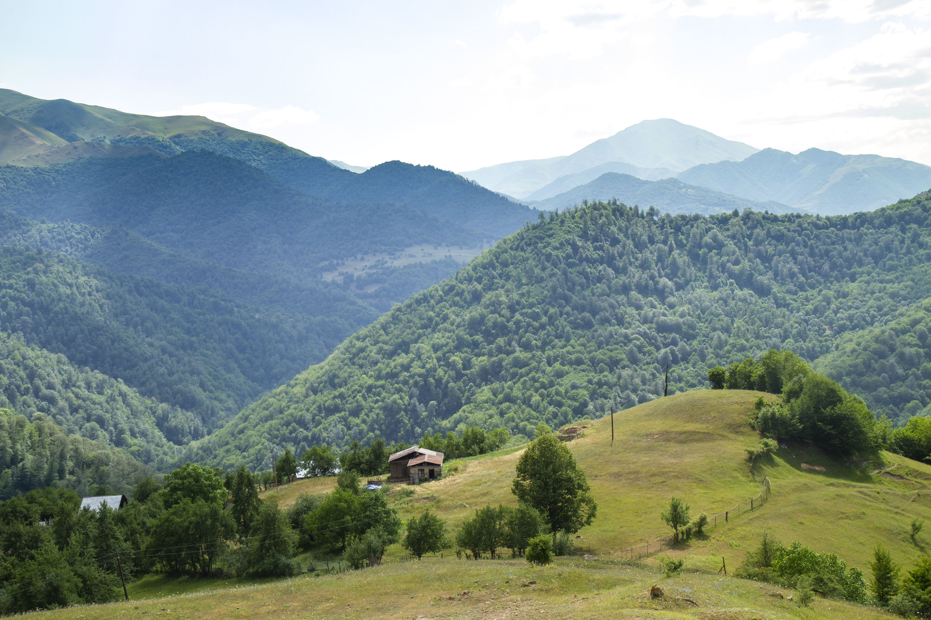
The entire trail follows a dirt road only suitable for off-road vehicles. The initial 4.6km of the trail is mostly uphill. After 1.5km from the upper exit of the village, keep going straight at the crossroads. The ascent will come to an end in 3.1km, where you need to turn left at the cemetery. The following 2km is relatively flat followed by a downhill section until Azgilli village. The part before the cemetery is mostly covered by sparse forest, while the rest of the route is through treeless areas.
Nearby trails
This route can be connected with the Chiragli – Javadkhan and Chiragli – Dastafur trails.
Seasonality
You can walk this route in all seasons.
Food and accommodation
There are no shops in Chiragli village or along the route. So please take care to buy supplies before the trip.
Stay: Rasim’s Guesthouse (+99455 286 5228)
Water
There are springs in both villages, as well as in 5 places along the route.
Transportation
There is no road for cars to Chiragli village from the Dashkasan region. You can reach the village from both Kollu and Dastafur villages on foot (4.1km and 8.5km respectively), as well as by either driving or walking from Azgilli village. Azgilli is the last village in the Goygol region, located on the border with Dashkasan. The only road for cars to Azgilli is from Togana village. You can get to Togana village by bus or taxi from the Goygol region bus station. An off-road vehicle is needed in order to get to Azgilli village from Togana village. You can arrange an off-road vehicle at the entrance of Goygol National Park. Also, you can agree with the driver to wait for you and take you back as well.
Permits & Specially Protected Areas
There are military bases in the lower and upper parts of Azgilli village. It is forbidden to take pictures of these buildings and enter their territories.
Warning
There are shepherd shelters in the area after the cemetery from May till the end of October, so you need to be careful of shepherd dogs there. At the same time, if you get lost or caught in bad weather you can approach the shepherd shelters for assistance.