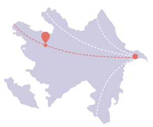
Gumukh - Gashgachay trail
Difficulty - Yellow 
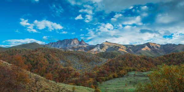
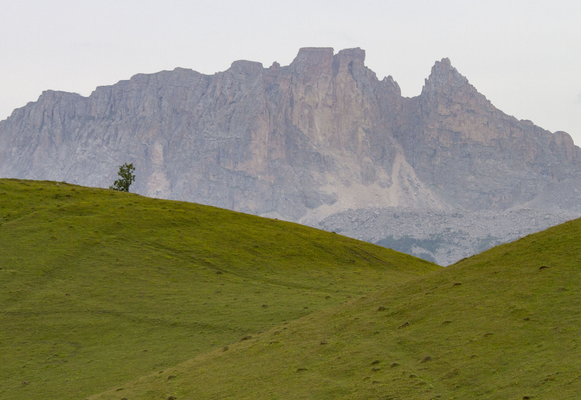
Kumukh village is considered an ancient settlement. During recent archeological excavations, it was established that it was inhabited in the 7th-8th centuries. When you cross the pass on this route to Gashgachay, you will see a wide view of the surrounding mountains and ravines. The paths are clearly marked everywhere and fully marked.
-
DISTANCE - 5.5 KM

-
ELEVATION GAIN - 200 M

-
ELEVATION LOSS - 300 M

-
MAX. ALTITUDE - 1020 M

-
MIN. ALTITUDE - 1250 M

-
DURATION - 2 h 10 MIN

Follow the signs from the starting point and continue on your way. About 1km ahead, the path enters a forest and begins to climb a steep slope. As you walk through the forest, the path begins to narrow, but there is still plenty of room for hikers. About 2km ahead, the road opens up and reaches a pass a little further. The path descending to the right of this pass reaches the village of Gashgachay after 1.5km. Continue following the signs to get to the main road in the village. After leaving the main road, you can follow the Ilisu sign and find the information board of this route a little further.
If you want to connect this route with other routes, it is better to go in the opposite direction (ie. starting from Gashgachay village). The difference in time and difficulty between these two directions is minimal.
Nearby trails
Those who plan to go in this direction can continue first on the Kish-Bash Goynuk route, and after reaching the village of Gashgachay, on the Gashgachay-Ilisu route.
Beyond Ilisu, the mountainous areas fall mainly into the territory of the Ilisu State Nature Reserve and the border control zone. If you have a local guide or a detailed map and sufficient experience, you can plan a two-day trek from Ilisu to Gum or Lakit Kotuklu village. It is recommended to go in this direction only in summer and with proper camping equipment.
Seasonality
In both villages there are small shops and cafes. For places to stay overnight, you can find guest houses, hotels and other accommodation facilities, including cafes and restaurants, located on the map.
Food and accommodation
In both villages there are small shops and cafes. For places to stay overnight, you can find guest houses, hotels and other accommodation facilities, including cafes and restaurants, located on the map.
Water
Although there are no water sources on the route, it is short and convenient so you do not have to worry about conserving water. 1 litre of water is enough if you do not spend much time beyond hiking.
Transport
Minibuses go from the bazar in Shaki city in the direction of Bash Layisgi (1 AZN per trip). Gumukh village is located in the upper part of Bash Layisgi. You can also reach Gumukh by taxi for about 6-8 AZN (using the *0066 and *5577 taxi services).
Permissions and Special Protected Areas
No prior permission is required to walk along this route. The route does not pass through specially protected natural areas or the border protection zone, and there are no permanent border guard posts anywhere along the route.
Yellow
Trails of this colour are perfectly suitable for beginners. To walk along this trail, you do not need to have previous experience in hiking or trekking. There is no need for any special equipment either.
Clothing and equipment:As with any activity involving physical activity, it is recommended to wear comfortable clothing. In summer, you can walk along trails of this colour in sports shoes. However, in rainy seasons and winter, you need to have waterproof hiking shoes. Specifications of yellow trails:
- Total distance: 3-9 km
- Total elevation gain: 100-400 m
- Total elevation loss: 100-600 m